Friday 23 January 2015
This is a walk / adventure I have been planning for the past year now, ever since I read about the Lindeman Pass in a wonderful book "The Blue Mountains Mystery Track" by Jim Smith (from Megalong Books in Leura). It is a pass conceived by local Alderman Charles Lindeman to connect Wentworth Falls to Katoomba via the base of the cliff line, mostly completed by 1911/ 12, but never fully completed due to local politics and anti-German sentiment during WW1, and over time has drifted into obscurity. Since purchasing the book it has been reread countless times, and is a staple on the bedside table. Many a night I have snuggled into bed with it (*sound of patient wife sighing*). Initially the book did leave the impression that the Pass may no longer be in use, but countless GOOGLE searches for more information suggested two things; that it was still used occasionally, and that possibly it was for experienced walkers only. So not one to dive into lightly.
Having had two successive outdoor adventures that didn't go to plan over my holidays, I was hoping to end my break with something both memorable and successful. Despite possibly challenging fate and having a third misadventure, I was keen to have a go at "the mystery pass".
Jim Smith's book describes various entry points to Lindeman Pass, via both Wentworth Falls (via Vera Falls) and Leura (via Roberts Pass or Gladstone Pass). He strongly advocates Gladstone as the starting point, and I was hoping to do it this way. On previous walks and runs I explored across the area where presumably these walks begin and was initially puzzled; but after much GOOGLE work and a good deal of wandering about, I did eventually discover where the first two began. These tracks are not heavily sign posted, and perhaps for good reason. Possibly not well suited to those less experienced. However, I was keen to do the walk as suggested by Jim Smith and enter via the Gladstone Pass, but the start of Gladstone Pass was proving elusive. Eventually I chanced across a trip report with a GPS of the walk attached and I realised that I was quite a bit off track in my searchings. Towards the end of 2014 I did finally stumble across it, tucked away behind the Fairmont Resort at Leura. Good to go.
I left trip details with the household head of Search and Rescue (the wife) and packed my PLB and got an early train to Leura.
The walk begins with a small path just within the grounds of the Fairmont Resort, behind some houses, with a small understated sign. It winds through the bush where it soon meets a large ugly slash of service trail and a large sign warning about the dangers awaiting. Of course I have seen these signs before, often warning of hazards that never seem to materialise - however, in this case I found them to be accurate.
Gladstone Pass is extremely beautiful, but it is also not for the faint hearted. It was very wet and slippery, and required a good deal of scouting around to keep on track. At one point I was completely stumped as I reached a point with only wet rock walls either side. I stood for quite a while trying to see a marker or some indicator of a trail, then noticed a length of rope hanging along the rock face opposite. I definitely gripped it tightly descending the wet slippery steps cut into the rock. I have no idea who put the rope there, but I cannot thank them enough.
Finding the way was a mix of following markers, bits of ribbon, blazes in trees, looking for signs of a track, and good old fashioned scouting around. A few times I scrambled along stretches, only to encounter a marker suggesting that I had missed the easy way down. No matter which way though, there is a lot of scrambling, water crossings, mud, and guess work. It is also extremely humid, and I was glad I had extra water (2.5 liters) because I was already dripping with sweat.
Eventually I found myself out of Gladstone and wandering a clearer path. I obviously missed where the Roberts Pass trail enters from the east. Possibly too excited at seeing the sun again.
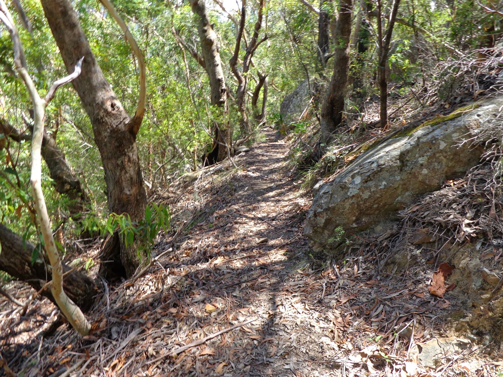
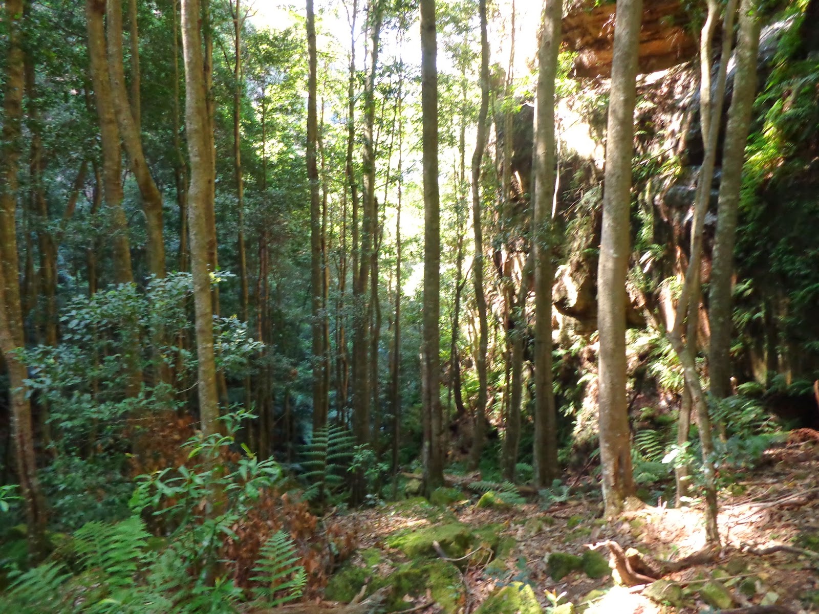
This is where doing my homework paid off, as I knew that the next few km were "the rainforest section" that was notoriously difficult to negotiate, and so it proved. One minute I was walking easily, only to suddenly find myself wondering where the track was, and scouting around the find a clue. Not at all easy given the dense jungle foliage all around. I repeatedly stood amazed at the incredible amount of work it must have taken to cut out the track, both in the early 1900's, and again in the 1980's (by Jim Smith and Wilf Hilder).
I crossed the landslide just before Sublime Point. I was feeling cocky at having got past it, and celebrated by completely losing the path. I had been enjoying the lovely open terrain, and expecting to find a marker somewhere, but as I headed increasingly downhill (mmm, this doesn't feel right), I eventually hit an enormous patch of deadfall trees that clearly and unequivocally stated "thou shalt not pass". After some pointless wandering about, I began to suspect that the best option was to climb straight up to try and cut the track. A good deal of hands and knees crawling ensued, grabbing vines and trees to stop myself sliding back down. At some point I saw a tiny pink ribbon high above, and climbed on.
Soon after I rounded Sublime Point, and everything changed. Suddenly the track was clear and open, and a pleasure to stroll along. Suddenly I was enjoying views, and looking up at the spectacular cliffs above. The final stretch also has fabulous waterfalls. Lindeman Falls, Gordon Falls, Microstrobos Falls, Leura Falls (but I somehow missed Walford Falls). The path running behind Gordon Falls was particularly nice. Then the rainforest returned at the end, and there was a bit more casting about, false trails, dead ends, water crossings, mud..etc. Lots of old trails associated with the sewerage works that used to be down here. There were also leeches. I had absolutely slathered my legs with bug repellant, but it had probably worn off given that I probably pumped out about 10 litres of sweat so far.
(as an aside, the Blue Mountains have a near forgotten industrial history of mining for coal and shale oil. The track down Gladstone Pass resulted from The Gladstone Coal mine at its base. The idea of doing this today seems inconceivable, yet there is no doubt that much of this lovely area is accessible due remnants of the rail lines and miner's tracks the mines created. However, fluffing about at the base of Leura Falls littered with crap around where the old sewerage works used to be, I couldn't help but think that maybe that had taken things a little too far).
The Pass ends with some lovely old stairs, and more signs warning of impending doom. I was also faced with decision of which set of stairs to climb. I settled on a climb up to Leura Cascades where I stripped off and tried to air dry (unsuccessfully) my shirt and body. This was not the hottest, but probably the most humid walk I have ever done. My GPS watch told me it was 4.30 hours and 13.5 km through the Pass itself. Today had proven to be quite the adventure. That 13.5km definitely included lots of scouting around, back tracking, and wandering aimlessly lost. I started with 2 litres of water in my bladder and 0.5 as backup. The 2 litres got me through the pass (just) and I kept the 0.5 to slug back before the final climb out. I could easily have drunk much more though, and I drank like a camel when I reached a tap at the top. My clothes looked like some one had tipped a bucket of water over me. Eventually I set off to the station shirtless to try and dry off a bit, to little effect except perhaps to scare the tourists passing by. I stopped briefly into Megalong Books (with shirt back on), but left when I realised that the horrible smell was me. On board the train back to Sydney I secured a spot by myself, with no one in any apparent hurry to sit beside me. I popped on the iPod, and enjoyed that wonderful feeling a having finished a fabulous walk, as well as the anticipation of wondering what the next one will be.
GPS of walk
 |
| a nice way to start |
 |
| a lovely understated sign |
 |
| a small and simple path |
 |
| a not so small and simple path |
 |
| where beauty and ugliness meet |
 |
| a not so understated sign |
 |
| the entrance to Gladstone Pass |
 |
| lost after 5 minutes, but a relic of the industrial past |
 |
| Add caption |
 |
| where things get interesting |
 |
| rope to hold on to |
 |
| thank goodness for the rope |
 |
| blazes on trees |
 |
| leaving Gladstone Pass and back into the sun |
 |
| Dash's Cave |
 |
| Dash's Cave |
 |
| views from the landslide section |
 |
| after Sublime Point the going is much easier |
 |
| Lindeman Falls |
 |
| Gordon Falls |
 |
| behind Gordon Falls |
 |
| behind Gordon Falls |
 |
| Leura Falls |
 |
| Leura Falls |
 |
| Leura Falls |
 |
| Leura Falls |
 |
| remnants of the old sewerage works |
 |
| some nice steps to finish the Pass |


Great report and pics Rob.
ReplyDeleteThanks for sharing.
Thanks Rob - would love to see your GPS track too, since I'd like to walk this one soon.
ReplyDeletehttps://www.strava.com/activities/244844876
Deletehopefully this works. Even if it doesn't, enough clues in the blog to get you started. Just prepare to get lost half a dozen times, back track, sit puzzling and confused, and eventually you should hit the track to Leura. Rob